 NavTiro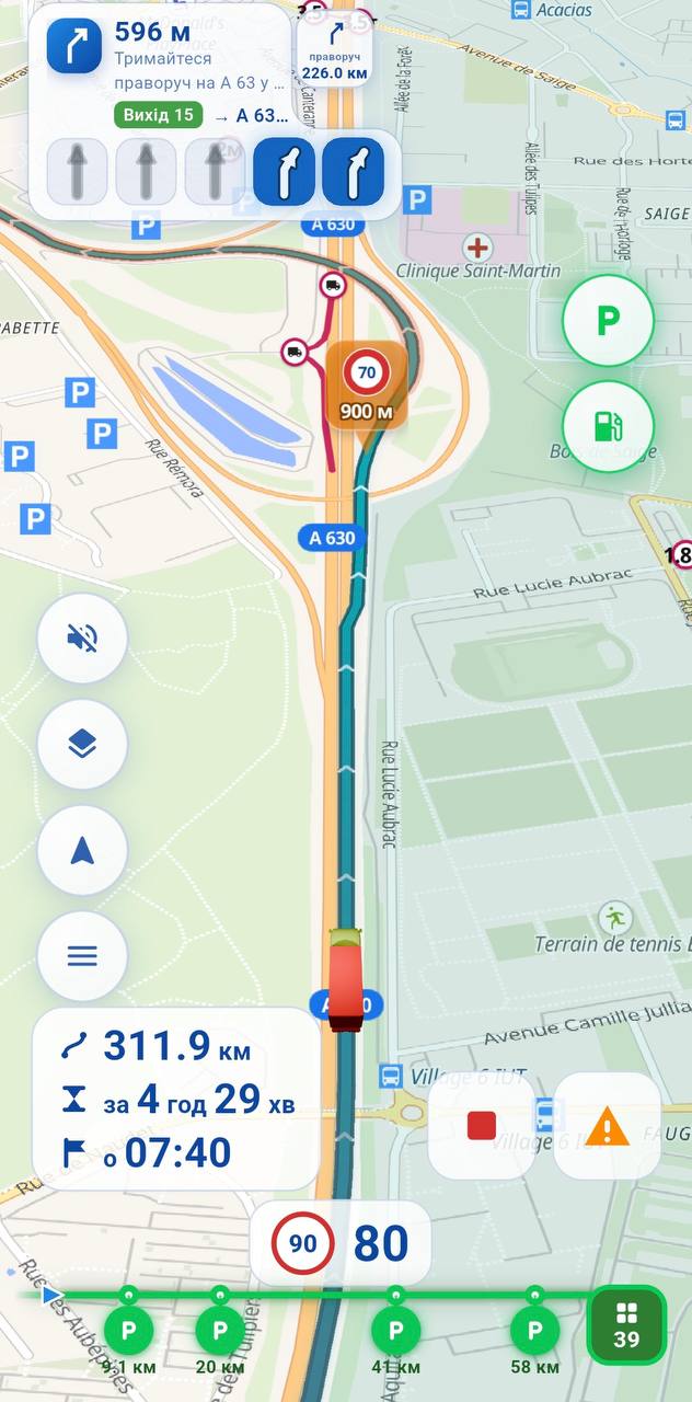
Ми не писали навігатор за столом. Ми його виїздили.
We didn't design this at a desk. We drove it into shape.
Navtiro починався не з презентації для інвесторів, а з двох речей: десятиліть за кермом і роздратування від навігаторів, які цього не розуміють. Понад рік застосунок ходить у справжніх рейсах Європою разом з водіями.
Navtiro did not start with an investor deck. It started with two things: decades behind the wheel, and frustration with navigation that ignores them. For over a year the app has been running real European routes alongside drivers.
10+ років стажу в команді
10+ years of driving on the team
Кожне рішення в застосунку проходить перевірку простим питанням: «Чи допомогло б це мені о третій ночі на незнайомій розв'язці?»
Every decision in the app passes one test: «Would this have helped me at three in the morning on an unfamiliar interchange?»
Обмеження перевіряють руками
Restrictions checked by hand
Відкриті карти помиляються: висоту позначають шириною, вагу на вісь — повною масою. Ми ці помилки знаходимо й виправляємо, а не пересилаємо водієві.
Open map data gets it wrong: height tagged as width, axle load tagged as total weight. We find and fix those errors instead of passing them to the driver.
Рік у бойових умовах
A year in real conditions
Дощ, тунелі, глушилки GNSS, прикордонні зони, оновлення карт посеред рейсу. Те, що ви бачите в застосунку, вже пережило все це.
Rain, tunnels, GNSS jamming, border zones, map updates mid-route. What you see in the app has already survived all of it.